Coastal hiking · South
Trace des Caps hike: choose a section and organise the return
The Trace des Caps is not a short stroll between two beaches: the full route is long, linear and exposed. A good day starts by selecting one section, arranging the return and carrying enough water.
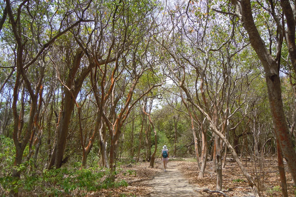
What the Trace des Caps actually involves
The French National Forests Office describes a linear route of roughly 34 km between Petit Macabou and Anse Caritan. It also lists five official sections, generally between 4.5 and 7 km. Those figures establish the scale; they do not replace a current map, signs or a same-day trail-status check.
For most visitors, one well-chosen section is more rewarding than the entire route. It leaves time to notice changing vegetation, pause at a cove and complete the return before dark. The full walk demands long-distance planning, a very early start and real experience of hiking in heat.
Choose the section around your day
| Your plan | Area to investigate | The deciding question |
|---|---|---|
| First encounter with the route | Les Salines – Anse Caritan | Where will you leave the car, and what return is genuinely available? |
| Southern coves and coastline | Cap Chevalier – Baie des Anglais | Are the path and access points open after recent weather? |
| A wilder-feeling section | Petit Macabou – Cap Macré | Is everyone ready for sun, uneven ground and linear-route logistics? |
| A long sporting day | Several linked sections | Do you have independent water, navigation, emergency and exit transport plans? |
Do not choose from a photograph alone. A highly photogenic section may be exposed, have no water and end far from convenient transport. Arrange the return first, then decide the distance.
Solve the return before walking
The Trace is not a loop. Two cars, a taxi booked to a precise point, or an organised drop-off are the easiest arrangements to understand. A loose plan to “find someone there” is unreliable, especially late in the day or outside busy periods.
Send the driver a map pin rather than only a beach name. Several coves have similar names, and some roads end a considerable distance from the trail. Agree on a fallback time too: a slower group needs to know which earlier exit to use.
Do not treat buses as a hiking shuttle until you have confirmed the stop, direction, operating day and final service with the relevant network. Read our Martinique transport guide, then verify the service on the day.
Heat, shade and water are the real difficulty
Climbing is not the only measure of effort. In the south, direct sun, reflected heat and limited shade can make a modest distance demanding. Start early, carry enough water for everyone and never assume a seller will be present at an intermediate beach.
Bring:
- closed shoes you have already worn, suitable for sand, stones and roots;
- enough sun protection for the whole outing rather than one small shared tube;
- a water reserve beyond the amount planned for the lunch stop;
- a charged phone, an offline map and saved exit points;
- a bag that lets you carry every piece of rubbish out;
- a light layer for wind or a shower even when the start is sunny.
Swimming does not replace hydration and should never be automatic. Assess the sea when you arrive, obey signs and consult the official French bathing-water portal where relevant. A remote cove is not supervised merely because a popular walking route passes it.
Check the weather and trail status
Read the Météo-France Martinique warning page before setting out. Heavy rain can damage sections, fill gullies and complicate road access; a dry day can still be difficult because of heat.
Download the relevant section map from the ONF page and compare it with information displayed at the trailhead. If a closure, diversion or barrier contradicts an older saved track, the information on the ground takes priority. Never bypass a closure because an app still shows the former route.
Build one coherent day, not a race between beaches
Combining five beaches with a hike usually creates a tour of car parks rather than a good day. Pick one main swimming stop and perhaps one short pause. A section around Les Salines naturally pairs with Sainte-Anne, while a Petit Macabou start belongs in a day dedicated to the south-east.
Keep food and valuables with you and leave nothing visible in the car. On inhabited or agricultural stretches, remain on the marked path and respect private access. Dry forest and coastal vegetation are fragile: do not cut a shortcut, collect plants or step beyond the path for a photograph.
Know when to turn back
Set a time limit before starting. Turn around or use the next exit if water is disappearing faster than planned, waymarking becomes uncertain, heat affects someone, or the return is no longer guaranteed. The aim is to finish with a margin, not to add a section because it is “only a few more kilometres”.
Call 112 in an emergency. Mobile coverage can vary; the section name, last known landmark and GPS position are more useful than a general description of the coast.
The night-before check
- Open the ONF page and map for your chosen section.
- Check the warning level, recent rain and predicted heat.
- Confirm the exact collection point and time with the driver.
- Save the start, planned finish and two intermediate exits offline.
- Tell someone your route and decision time.
- Drop the extra section if either the group or logistics lack a margin.
For a different hiking day, compare the Caravelle peninsula and Mount Pelée: their wind, rain and terrain constraints are very different.
Useful points on the ground
Addresses and maps
Petit Macabou
Le VauclinMartiniqueThe eastern end of the complete route and a starting point for the official Cap Macré section; verify road access on the day.
Cap Chevalier and Anse Michel
Sainte-AnneMartiniqueA useful intermediate reference point for dividing the walk and arranging a return rendezvous.
Grande Anse des Salines
Sainte-AnneMartiniqueA busy point on the route; do not depend on shops or transport without current confirmation.